
Ground drawing and landscape-scale marking
At eye level a pale strip of gravel can look like a path. From a ridge it turns a corner, returns alongside itself and becomes the edge of a figure. In a geoglyph the ground supplies both the support and part of the image.
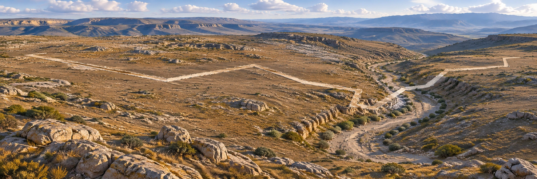
A visual introduction
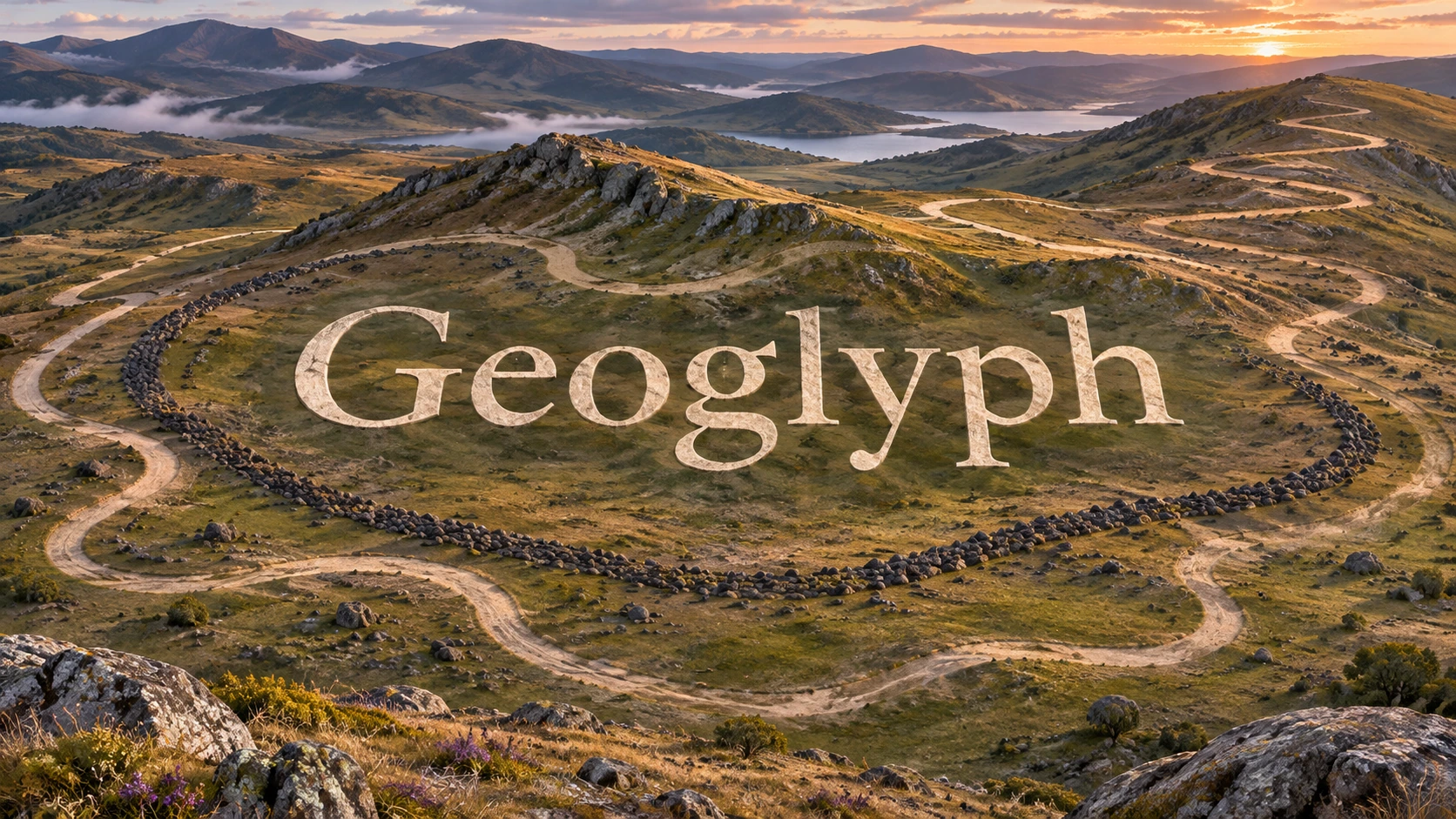
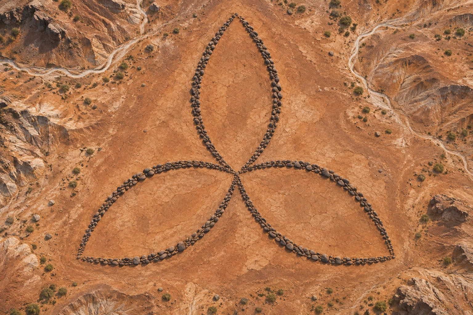
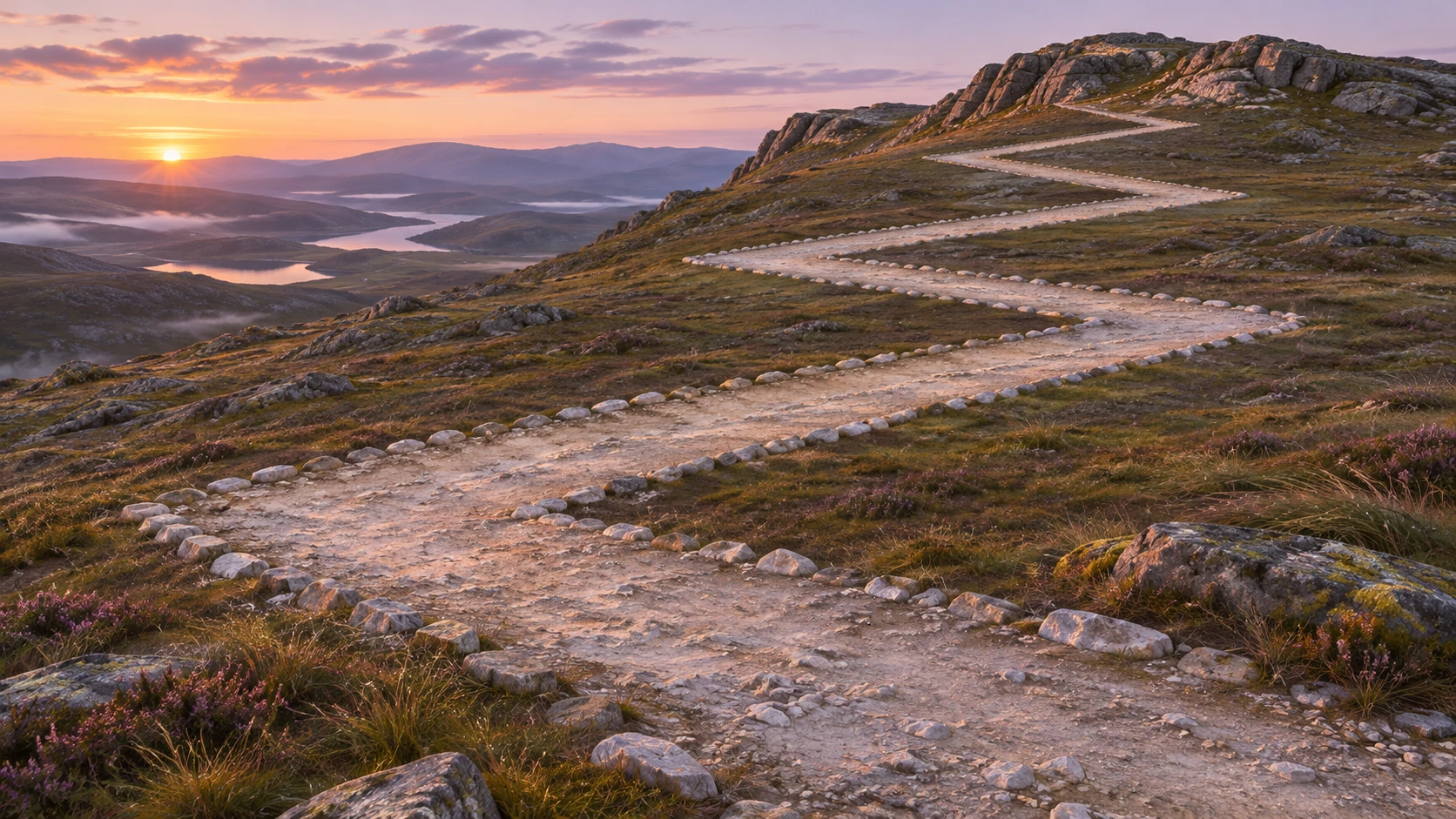
The banner, collage and five studies are AOI interpretations. The linked sources document the works and practices discussed in the article.
Select an image for a closer look. Use the thumbnails, arrow keys or a swipe to compare examples. Zoom in to inspect details, or share the image that inspires you.
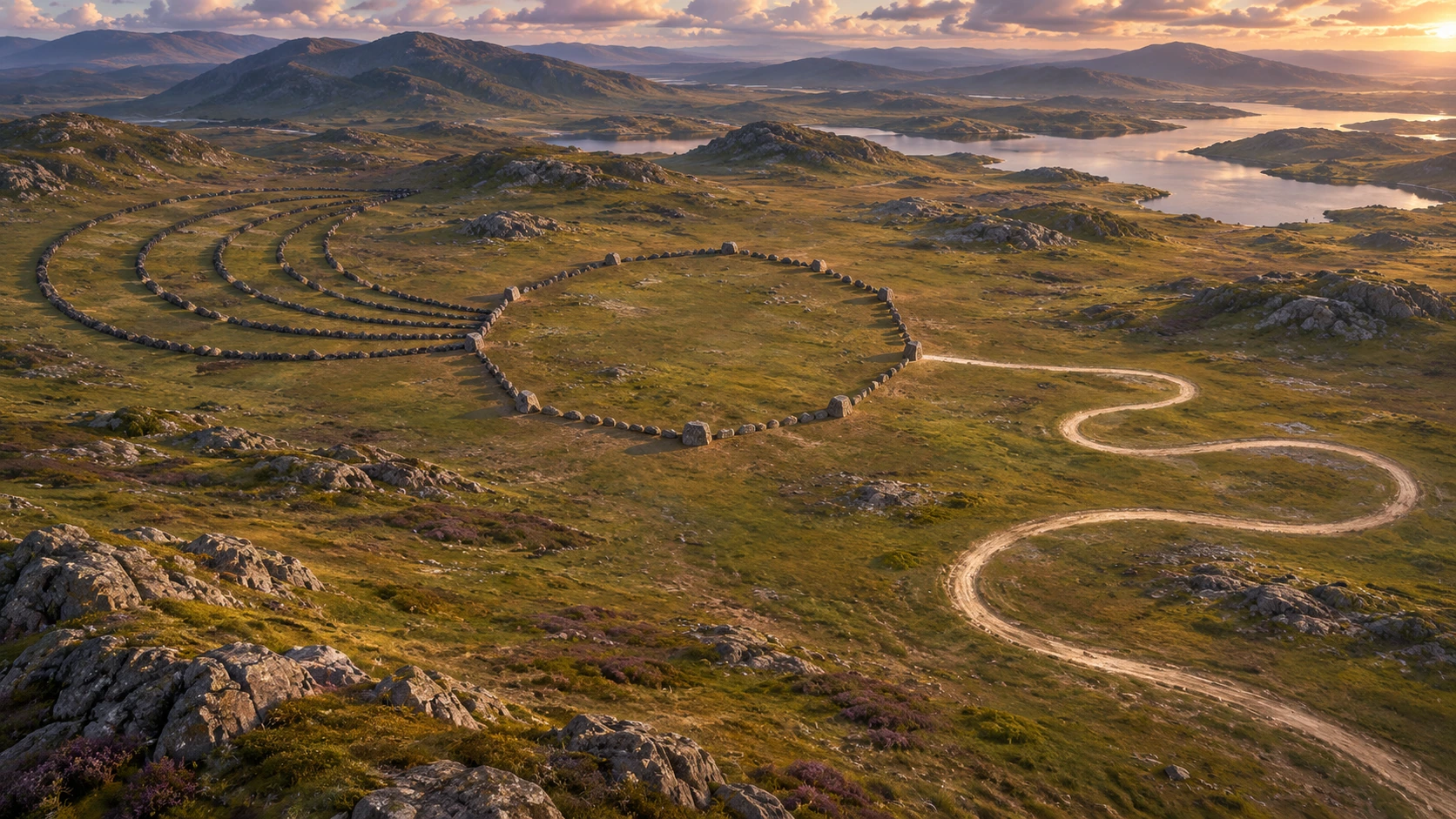
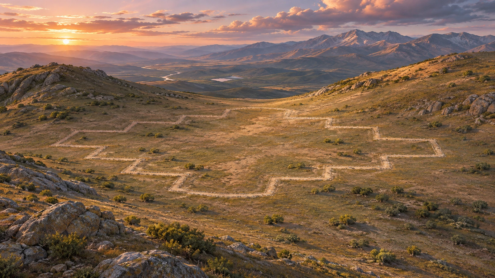
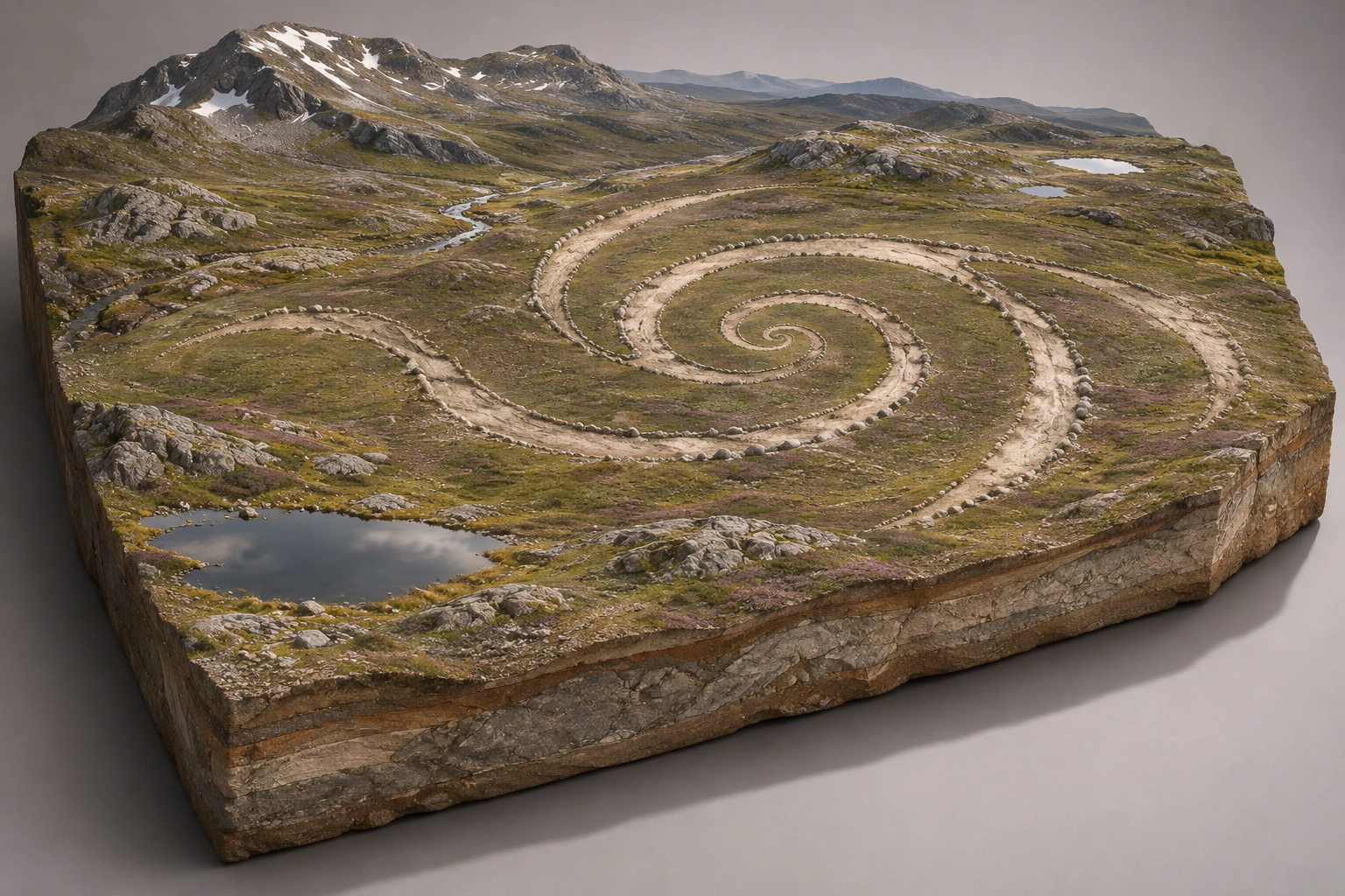
Creative toolbox · take this style further
Choose an input and a destination. Search sends your words to the chosen site; Copy & open puts them on your clipboard to paste there.
Create with AI
Turn your chosen input into an image prompt or a new creative direction.
ChatGPT
Copy your input and paste it into a ChatGPT conversation or image request.
Copy & open ChatGPT (new tab)Claude · Anthropic
Develop an image prompt or explore the style in a new Claude conversation.
Copy & open Claude · Anthropic (new tab)Midjourney
Paste your input into the Imagine bar on the Create page.
Copy & open Midjourney (new tab)Adobe Firefly
Copy your input, open Firefly, and paste it into the prompt field.
Copy & open Adobe Firefly (new tab)Leonardo.Ai
Copy your input, open Leonardo, and paste it into the generation field.
Copy & open Leonardo.Ai (new tab)Image search
Find visual references. Short, concrete keywords usually work best.
Lexica
Search AI images and prompts using your selected input.
Search with this input Lexica (new tab)Pexels
Search the photo and video library. Short keywords often work best.
Search with this input Pexels (new tab)Pixabay
Search photos, illustrations and other images.
Search with this input Pixabay (new tab)Unsplash
Search photographs using the style name or your own keywords.
Search with this input Unsplash (new tab)Wikimedia Commons
Search photographs, artworks and historical images. Check each file for its source and reuse terms.
Search with this input Wikimedia Commons (new tab)Art & research
Explore artists, collections and the ideas behind a style.
Wikipedia
Search for background reading. A style may not have its own article.
Search with this input Wikipedia (new tab)WikiArt
Copy your input into WikiArt’s search to explore artists and artworks.
Copy & open WikiArt (new tab)Europeana
Paste your keywords into the search to explore European museum, library and archive collections.
Copy & open Europeana (new tab)Inspiration
Discover portfolios and visual ideas from creative communities.
Instagram hashtags
Search a hashtag made from your input: spaces and punctuation are removed. Instagram may require sign-in.
Search with this input Instagram hashtags (new tab)ArtStation
Paste your input into artwork search for concept art, environments, characters and visual development.
Copy & open ArtStation (new tab)Behance
Paste your input into project search for illustration, design and visual storytelling.
Copy & open Behance (new tab)A closer look
Look for a change in the surface that persists across terrain. A boundary may follow a slope, cross a wash or disappear behind a rise. The distance needed to see its shape can be much greater than the width of the mark.
A line made by removing a surface
UNESCO describes how makers on Peru’s south coast removed weathered gravel to expose a lighter surface in the landscape of Nasca and Palpa. The width of a band matters alongside its outline. Seen obliquely, its far edge narrows, small irregularities merge and the line can disappear into the tone of the hillside. A vertical photograph gives the same mark a much more uniform visual weight.
Reading Nasca and Palpa
The World Heritage account distinguishes figurative designs, including animals and plants, from long lines and geometric shapes. Several phases of work contributed to this landscape. A diagram of one bird leaves out the nearby lines, elevations and older marks that a site study can record. When comparing a site photograph with a tracing, attend to the information the clean drawing has discarded: uncertain edges, breaks, later crossings and the direction of the light.
Archaeologists consider ritual and social uses. A line’s orientation is measurable. The exact purpose or meaning of an individual mark requires evidence beyond its shape. A modern aerial photograph documents a modern vantage point. It cannot, on its own, tell us where past viewers stood or whether everyone approached from the same place.
A hillside that needs its keepers
The Uffington White Horse in Oxfordshire offers a different comparison. The National Trust’s site record documents the figure, its maintenance and earlier episodes of cleaning and re-cutting. On a green slope the chalk reads as a pale stroke. Keeping that contrast visible across generations is part of the figure’s material history. On the Peruvian pampa a different surface and climate shaped what survived. A shared ability to draw at landscape scale tells us little about shared authorship or purpose.
Change your height before changing the line
Build a small imaginary landscape in a tray with contrasting papers or loose material already in the studio. Draw a broken contour, then photograph it from directly above and from the rim. A low view may suggest a route while the overhead image closes a shape. Keep the edge of the tray in one frame to make the scale of the experiment legible. The gallery is a collection of invented terrain studies. The linked site records supply documentary references.
Positive review · AI-authored editorial assessment
A strong terrain study makes a change of viewpoint change the reading. A narrow mark can be a route at one height and the turn of a figure at another.
Negative review · AI-authored editorial assessment
The perfect overhead icon is a tempting shortcut. It removes erosion, slope and interruptions, then invites confident stories about a drawing with most of its evidence edited out.
Neutral review · AI-authored editorial assessment
Geoglyph describes a way marks inhabit land. The histories of a Peruvian gravel plain and an English chalk hill require separate documentation, dating and accounts of care.
A small poetic detour
Original words from the AOI studio.
Poetry
From here the line is only gravel.
Three steps uphill it finds a knee.
The hill keeps half the drawing.
I carry the other half by walking.
The prompt workshop
Original creative exercises. These prompts create new illustrations, not documentary evidence.
Starting point
Make a pale, three-turn line across a fictional stony plain. Let one section vanish behind a rise. Light it obliquely so the terrain remains legible.
Richer composition
Compose an invented hillside with one positive dark-stone outline and one pale exposed band. Show how a dry channel interrupts both, from a plausible nearby ridge.
Experiment
Photograph a tabletop earth-drawing model from the height of its rim. Preserve one gravel-sized foreground clue and one edge of the box. Let the distant section nearly disappear.
People & works to explore
References discussed in this article. Consult the sources below for context.
Paintings and other works
Lines and Geoglyphs of Nasca and Palpa
Uffington White Horse
A smile from the studio
Jokes
The neatest line in my tabletop survey belonged to the edge of the tray. The field notes have been amended.