
Remote-sensing imagery and artistic reference
Satellite imagery translates measurements into images that can reveal land, water, atmosphere and change. Its visual power comes with a responsibility to distinguish measured data, processing choices and invented satellite-like art.
A visual introduction
Select an image for a closer look. Use the thumbnails, arrow keys or a swipe to compare examples. Zoom in to inspect details, or share the image that inspires you.
Creative toolbox · take this style further
Choose an input and a destination. Search sends your words to the chosen site; Copy & open puts them on your clipboard to paste there.
Create with AI
Turn your chosen input into an image prompt or a new creative direction.
ChatGPT
Copy your input and paste it into a ChatGPT conversation or image request.
Copy & open ChatGPT (new tab)Claude · Anthropic
Develop an image prompt or explore the style in a new Claude conversation.
Copy & open Claude · Anthropic (new tab)Midjourney
Paste your input into the Imagine bar on the Create page.
Copy & open Midjourney (new tab)Adobe Firefly
Copy your input, open Firefly, and paste it into the prompt field.
Copy & open Adobe Firefly (new tab)Leonardo.Ai
Copy your input, open Leonardo, and paste it into the generation field.
Copy & open Leonardo.Ai (new tab)Image search
Find visual references. Short, concrete keywords usually work best.
Lexica
Search AI images and prompts using your selected input.
Search with this input Lexica (new tab)Pexels
Search the photo and video library. Short keywords often work best.
Search with this input Pexels (new tab)Pixabay
Search photos, illustrations and other images.
Search with this input Pixabay (new tab)Unsplash
Search photographs using the style name or your own keywords.
Search with this input Unsplash (new tab)Wikimedia Commons
Search photographs, artworks and historical images. Check each file for its source and reuse terms.
Search with this input Wikimedia Commons (new tab)Art & research
Explore artists, collections and the ideas behind a style.
Wikipedia
Search for background reading. A style may not have its own article.
Search with this input Wikipedia (new tab)WikiArt
Copy your input into WikiArt’s search to explore artists and artworks.
Copy & open WikiArt (new tab)Europeana
Paste your keywords into the search to explore European museum, library and archive collections.
Copy & open Europeana (new tab)Inspiration
Discover portfolios and visual ideas from creative communities.
Instagram hashtags
Search a hashtag made from your input: spaces and punctuation are removed. Instagram may require sign-in.
Search with this input Instagram hashtags (new tab)ArtStation
Paste your input into artwork search for concept art, environments, characters and visual development.
Copy & open ArtStation (new tab)Behance
Paste your input into project search for illustration, design and visual storytelling.
Copy & open Behance (new tab)A closer look
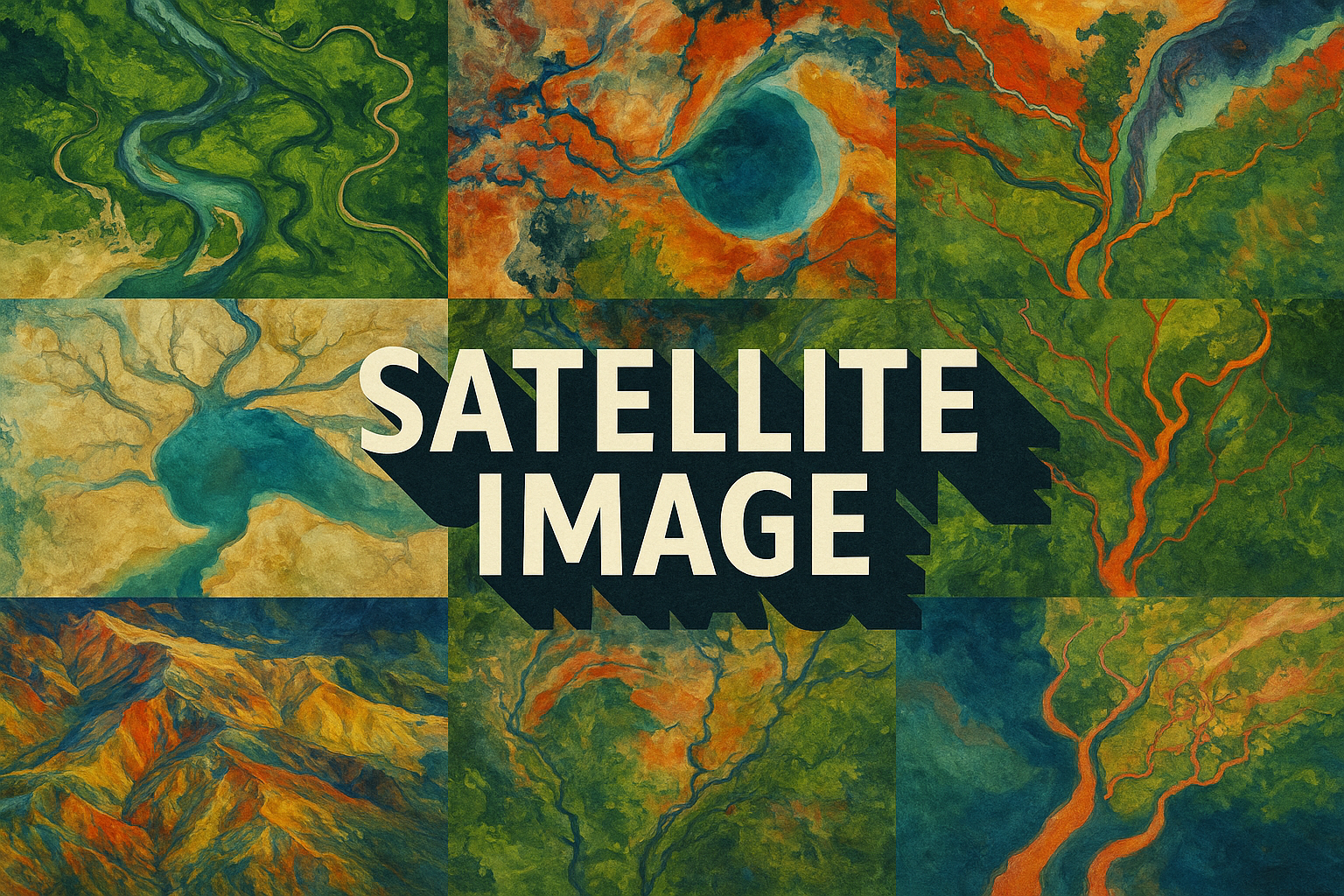
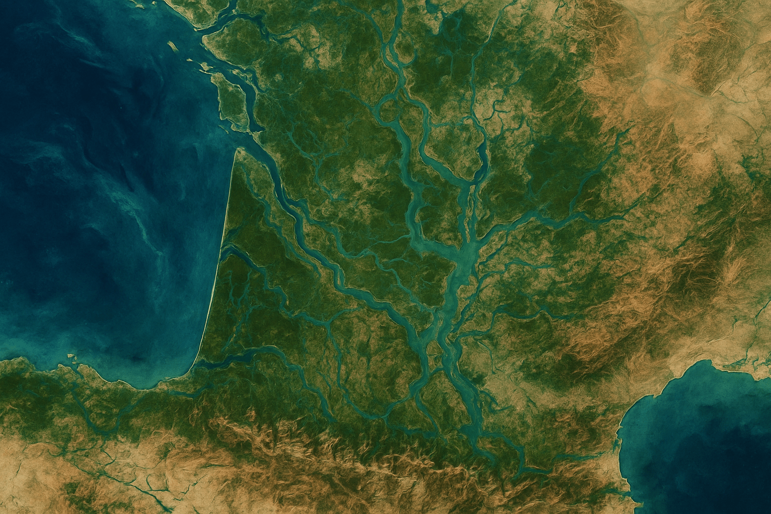
Branching channels, agricultural grids, coastlines, clouds and tonal or spectral contrasts form large-scale patterns; orientation, resolution and color mapping determine how they should be read.
An image is a representation of measurements
NASA describes satellite images as combinations of measurements from selected wavelength bands. A natural-color view uses visible bands in familiar color relationships. A false-color view maps other information into display colors, which may reveal features that are difficult to distinguish in ordinary vision.
“False color” therefore does not mean fabricated data. The choice of bands and their display mapping needs to be understood before interpreting a red forest, dark river or bright urban area. The same place can appear very different in two scientifically useful representations.
Read scale before identifying shapes
A branching line may be a river network, a small drainage feature or something else entirely at another scale. Look for location, acquisition date, sensor information and an appropriate scale reference in actual imagery. Do not infer the size or meaning of a feature solely from its resemblance to a familiar object.
Orientation also changes the reading of patterns. A view from above removes many everyday perspective cues, which can make land appear abstract. Identify a stable relationship such as a coastline or road network before treating every color boundary as a physical edge.
Separate a pattern from an explanation
An image may show a difference without establishing its cause. Seasonal conditions, cloud cover, processing and acquisition settings can affect comparisons. If discussing change, use compatible observations and the source's explanation instead of making an environmental claim from two attractive pictures.
For artistic study, investigate the rhythm of large and small structures: a broad river beside fine tributaries, or a regular field grid interrupted by terrain. A crop should preserve the relationship that makes the pattern interesting rather than remove all context for the sake of decoration.
Use the view honestly in creative work
An invented satellite-like landscape can explore branching, repetition and color mapping. Label it as a conceptual image and omit false coordinates, sensor names or acquisition dates. It cannot support a scientific or geographic claim about a real place.
When using actual data, retain its source and processing information. Satellite imagery is not a painting genre defined by a list of famous sculptors. Its distinctive contribution is the way remote measurements make large spatial relationships available to interpretation.
The prompt workshop
Original creative exercises. These prompts create new illustrations, not documentary evidence.
An invented delta
Original satellite-inspired conceptual view of an imaginary river delta, coherent branching channels and sediment patterns, restrained naturalistic palette, no coordinates, sensor label or claim of a real location.
Pattern and interruption
Top-down invented landscape with agricultural grids interrupted by a winding escarpment, clear changes of scale and texture, controlled color relationships, explicitly conceptual geography.
False-color as design
Abstract satellite-like study of an imaginary wetland, deliberate contrasting color assignments separating water, vegetation and bare ground, legible spatial structure, no scientific legend or measurement claims.
Sources and further exploration
NASA — how band combinations become natural- and false-color images
NASA — remote-sensing methods and the meaning of display colors