
Established
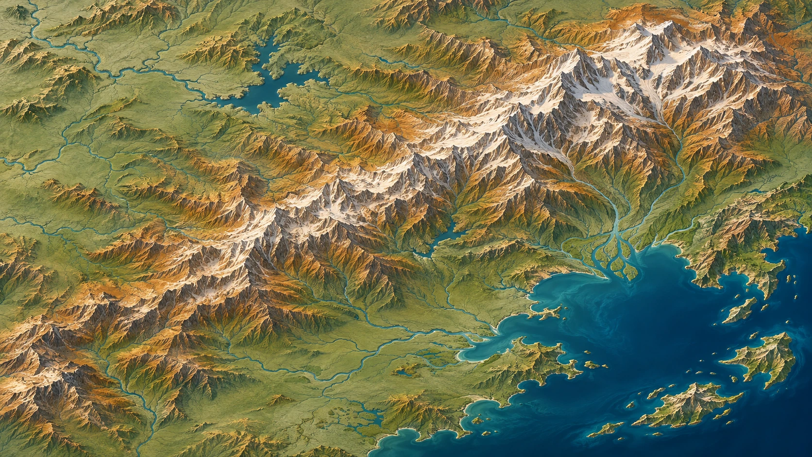
Relief Map represents the shape of terrain through light, color, contour or physical height. As an artistic approach, it turns ridges, valleys and coastlines into a readable composition while retaining the spatial logic that makes a map different from a landscape view.
A visual introduction
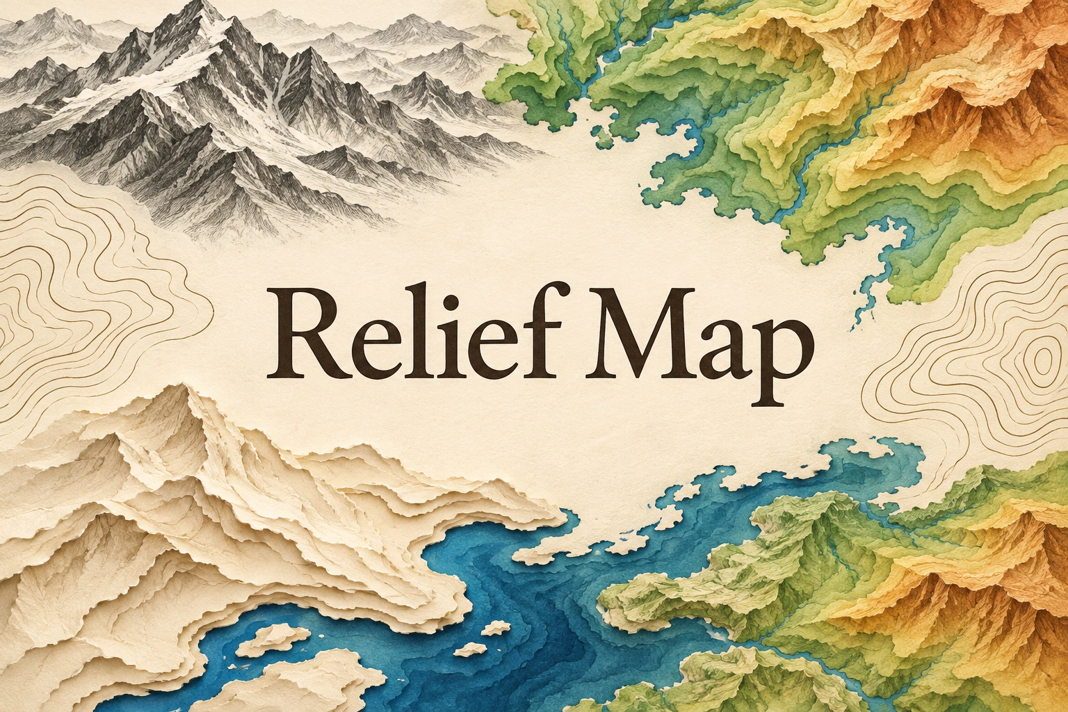
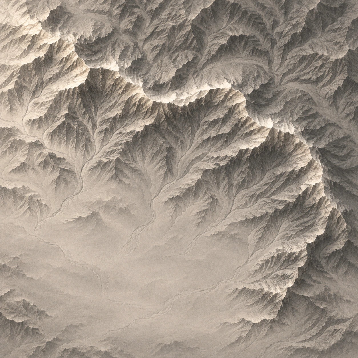
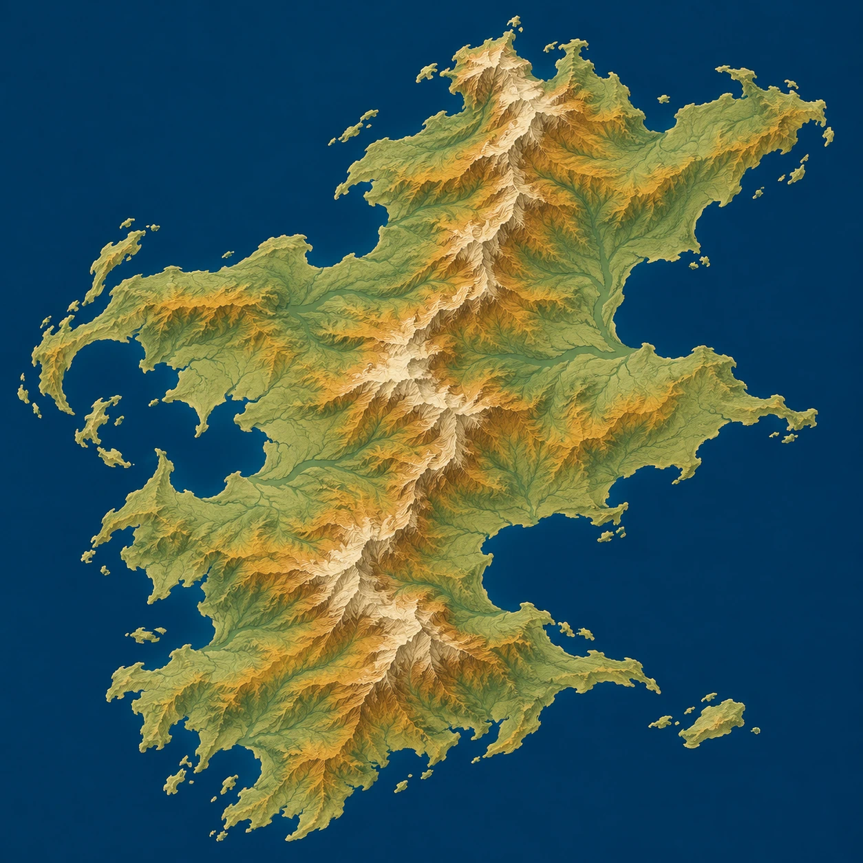
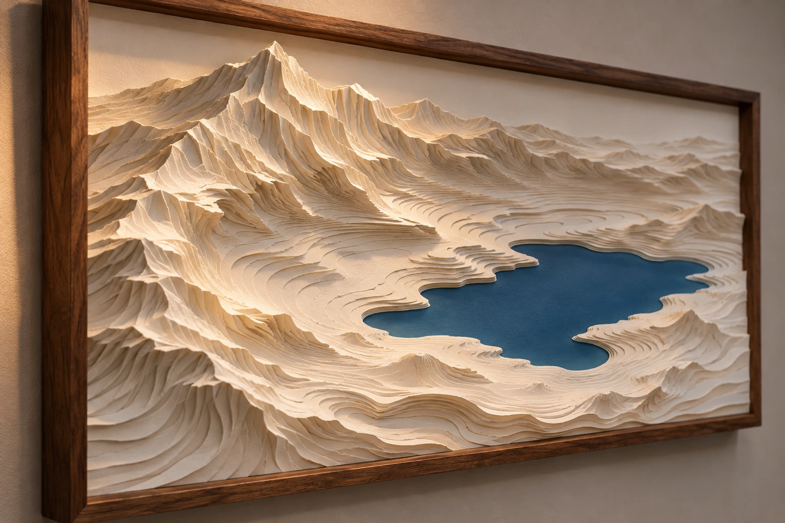
Five original AI-generated studies explore this subject through a banner, a titled collage and three standalone examples.
Select an image for a closer look. Use the thumbnails, arrow keys or a swipe to compare examples. Zoom in to inspect details, or share the image that inspires you.
Creative toolbox · take this style further
Choose an input and a destination. Search sends your words to the chosen site; Copy & open puts them on your clipboard to paste there.
Create with AI
Turn your chosen input into an image prompt or a new creative direction.
ChatGPT
Copy your input and paste it into a ChatGPT conversation or image request.
Copy & open ChatGPT (new tab)Claude · Anthropic
Develop an image prompt or explore the style in a new Claude conversation.
Copy & open Claude · Anthropic (new tab)Midjourney
Paste your input into the Imagine bar on the Create page.
Copy & open Midjourney (new tab)Adobe Firefly
Copy your input, open Firefly, and paste it into the prompt field.
Copy & open Adobe Firefly (new tab)Leonardo.Ai
Copy your input, open Leonardo, and paste it into the generation field.
Copy & open Leonardo.Ai (new tab)Image search
Find visual references. Short, concrete keywords usually work best.
Lexica
Search AI images and prompts using your selected input.
Search with this input Lexica (new tab)Pexels
Search the photo and video library. Short keywords often work best.
Search with this input Pexels (new tab)Pixabay
Search photos, illustrations and other images.
Search with this input Pixabay (new tab)Unsplash
Search photographs using the style name or your own keywords.
Search with this input Unsplash (new tab)Wikimedia Commons
Search photographs, artworks and historical images. Check each file for its source and reuse terms.
Search with this input Wikimedia Commons (new tab)Art & research
Explore artists, collections and the ideas behind a style.
Wikipedia
Search for background reading. A style may not have its own article.
Search with this input Wikipedia (new tab)WikiArt
Copy your input into WikiArt’s search to explore artists and artworks.
Copy & open WikiArt (new tab)Europeana
Paste your keywords into the search to explore European museum, library and archive collections.
Copy & open Europeana (new tab)Inspiration
Discover portfolios and visual ideas from creative communities.
Instagram hashtags
Search a hashtag made from your input: spaces and punctuation are removed. Instagram may require sign-in.
Search with this input Instagram hashtags (new tab)ArtStation
Paste your input into artwork search for concept art, environments, characters and visual development.
Copy & open ArtStation (new tab)Behance
Paste your input into project search for illustration, design and visual storytelling.
Copy & open Behance (new tab)A closer look
Look for an overhead or map-like view, connected ridges and drainage patterns, and a consistent method of showing height. Shading models form; elevation colors organize levels; a raised model makes terrain physically dimensional.
Terrain becomes a visual language
Relief mapping is an established cartographic practice, not a single historical art movement. This entry explores its visual principles as a source for illustration, wall art and sculptural design. A shaded map can appear three-dimensional while remaining flat; a raised-relief model has actual depth. Contour lines offer another representation, connecting places at an equal elevation rather than painting illumination.
The artistic attraction lies in seeing a landscape as one connected structure. A ridge divides valleys, tributaries gather into larger channels, and a coastline interrupts the land mass. These relationships can organize an image as strongly as a figure or architectural facade. Start with the large terrain pattern before adding hundreds of little peaks.
Read color separately from shade
Maps-For-Free, the reference supplied for this entry, explains that its relief colors represent elevation rather than the natural colors of objects. That distinction matters: a green band need not mean forest, and a pale summit need not prove snow cover. Its selectable thematic layers also show how terrain can coexist with other kinds of information.
Esri's Shaded Relief documentation describes combining elevation colors with hillshade and controlling illumination through light direction and altitude. Single-direction shading emphasizes one set of slopes; multidirectional shading combines illumination from several directions. For an artistic study, decide whether color means height, material or mood, and keep that decision coherent throughout the image.
Shape the composition without losing the terrain
Choose one dominant feature: a long mountain spine, a branching basin or an island surrounded by quiet water. Give it room. Small-scale texture should support that structure, not compete equally in every corner. A broad plain can be useful negative space even when its surface seems uneventful.
Keep a consistent lighting logic. Random bright edges on all sides can turn mountains into metallic noise and make valleys difficult to read. Use a narrow range of values for minor features, reserving strong contrast for the landforms that carry the composition. In a color study, a restrained ordered palette often communicates height more clearly than unrelated saturated patches.
From digital elevation to artistic interpretation
A data-based map and an invented terrain illustration have different responsibilities. The USGS shaded-relief service identifies its elevation sources, including 3DEP and GMTED2010, and distinguishes the shading methods used at different scales. Such documentation helps explain what a real geographic product represents.
For a geographic commission, retain the source, coordinate reference, scale and processing choices. Esri distinguishes vertical exaggeration from the conversion between elevation and horizontal units; exaggeration changes how steep the terrain appears. Disclose it when it affects interpretation. The five gallery images here are AI-generated imaginary terrains and design concepts, with no surveyed locations or navigation accuracy claimed.
Applications and useful limits
A monochrome shaded study can make a compelling print through light alone. Elevation-like color bands can organize an illustrated island. A layered-paper or carved relief can translate the same spatial idea into a tactile wall object. For furniture or textiles, simplify the terrain into a few continuous structures so that the design survives its new viewing distance.
Avoid adding coordinates, contour values or place names merely to make a fantasy map look authoritative. If labels are needed, design and verify them separately. Relief Map works best when the viewer can enjoy the surface and still understand which parts rise, which recede and how they belong together.
A small poetic detour
Original words from the AOI studio.
Poetry
A ridge unfolds beneath the light;
a valley gathers shade below.
The river writes its patient line
through folds the distant mountains know.
Upon this sheet, the land can rise—
a journey measured by the eyes.
The prompt workshop
Original creative exercises. These prompts create new illustrations, not documentary evidence.
Light reveals the land
Create an overhead monochrome shaded-relief artwork of an imaginary mountain basin. One main ridge, connected valleys, subtle tributary structures and consistent upper-left illumination. Quiet gray plains, no invented coordinates or labels.
Color organizes height
Imagine a relief-map illustration of a fictional island. Use an ordered sequence from muted green lowlands through ochre slopes to pale high peaks, combined with restrained shading. Calm blue sea, readable terrain hierarchy, no claims of measured elevation.
Terrain leaves the paper
Design a sculptural wall relief of an invented landscape made from stacked ivory paper layers. Broad basin, one asymmetric mountain spine, deep blue lake, warm side lighting and clean gallery presentation. Show the material depth clearly, without text.
A smile from the studio
Jokes
The relief map arrived at the gallery and asked for a little more elevation. The curator raised the frame by two centimeters. The mountains called it an excellent start, but the valley lodged a formal depression.